Data Portal services will be unavailable on Wednesday February 25th from 9am to 6pm PST while we do maintenance to our infrastructure. We apologize for the inconvenience.
GeoNEX Coincident Ground Observations (GeCGO) Data Portal
Subset of GeoNEX data at Terrestrial Observational Network Sites

Welcome to the GeoNEX Coincident Ground Observations (GeCGO) Data Portal
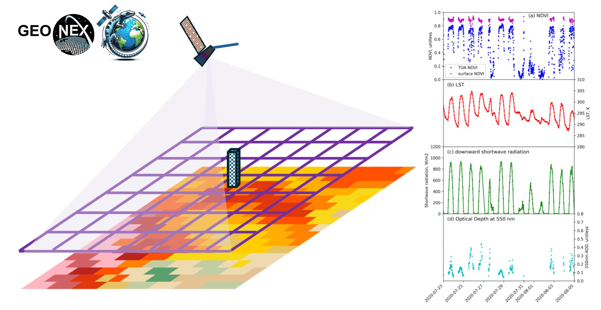
The GeCGO is the subset of GeoNEX data at Terrestrial Observational Network Sites to facilitate the use of data from geostationary satellites. To make it convenient for users to get time series of GeoNEX data where ground-based observations are collected, we created GeCGO by extracting observations from the GeoNEX data over 1586 field or flux tower sites in various observation networks. To further facilitate its use, GeCGO is provided in same file format as the ORNL Terrestrial Ecology Subsetting & Visualization Services (TESViS) fixed sites subset data, formerly known as MODIS/VIIRS Subset Tools, which will be familiar to most scientists. Specifically, GeCGO data are available in CSV and JSON formats for each year. The data values were organized as 17x17, 9x9, and 5x5 grids for 0.005°, 0.01°, and 0.02° resolution, respectively. The data values represent sequences of pixels from northwest corner to southeast corner in row-major order. The data are organized into directories named after the site IDs used in the TESViS Subset.
You can use this portal to download data from the GeoNEX Coincident Ground Observations (GeCGO) Portal.
Quick Links
- News
- User Documentation
- myNAS User Portal
- System Status
- FAQ
- Get Accounts
- New User Orientation
- Training Webinars
Can't find what you're looking for? NAS User Support is available 24x7x365:
(800) 331-8737
(650) 604-4444
support@nas.nasa.gov